
official data
CPC week-2: 105°F heat and rapid-onset drought still stalking the Plains
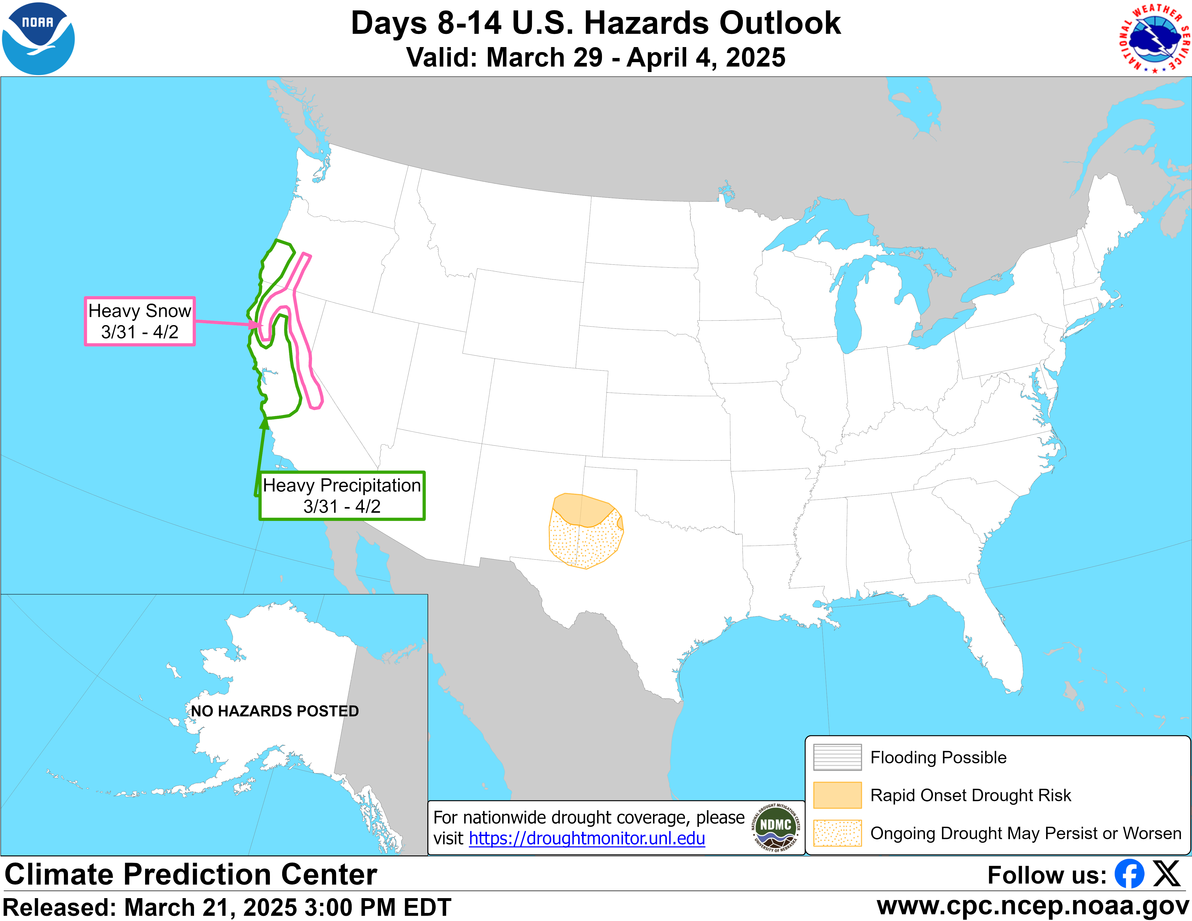
The Climate Prediction Center issued a U.S. Week-2 Hazards Outlook at 3:00 PM EDT on 31 August 2026. Broad mid-level ridging is forecast to linger across the central contiguous United States into week-2, favoring anomalous warmth and extreme heat over portions of the Great Plains and Mississippi Valley. CPC designates Rapid Onset Drought (ROD) risk for portions of the Central and Southern Plains and the Middle and Lower Mississippi Valley. That is CPC’s product. This note does not invent a rainfall deficit map.
Key facts
- Issued
- Aug 31, 2026, 3:00 PM EDT
- Valid
- Sep 8–14, 2026 (week-2)
- Heat
- Moderate risk (40–60%) Sep 8–9, Central/Southern Plains and Middle/Lower Mississippi Valley
- Heat criterion in text
- ≥40% chance of max temps above 90th percentile and temps or heat index >105°F (110°F in more humid southern Texas)
- Drought
- Rapid Onset Drought risk, Central/Southern Plains and Middle/Lower Mississippi Valley
- Forecaster
- Melissa Ou
The abnormally hot and dry conditions over the past few weeks are expected to continue through much of week-2, supporting a Rapid Onset Drought (ROD) risk for portions of the Central and Southern Plains and the Middle and Lower Mississippi Valley.
NOAA CPC Week-2 Hazards Outlook, 31 August 2026, 3:00 PM EDT
Note
CPC’s synopsis: lingering central-CONUS ridging from the end of week-1 into week-2, with anomalous warmth and extreme heat centered across portions of the Great Plains and Mississippi Valley at the beginning of the period. Some ROD areas were removed across parts of Texas and Louisiana because of anticipated week-1 rainfall. CPC cites Tropical Depression 5 in the Gulf as monitored by the National Hurricane Center as a reason some southern-periphery ROD was taken off southeastern Texas and southern Louisiana.
Hazards listed (CPC bullets)
- Moderate risk of extreme heat for parts of the Central and Southern Plains, and Middle and Lower Mississippi Valley, Tue-Wed, Sep 8-9.
- Slight risk of extreme heat for parts of the Desert Southwest, central and east-central CONUS, Tue-Mon, Sep 8-14.
- Slight risk of heavy precipitation across parts of the Great Basin, Central and Southern Rockies, southern California, and Southwest, Tue-Sat, Aug 8-12. (Quoted as printed on the CPC page; the product header valid window is Tuesday September 08, 2026 to Monday September 14, 2026.)
- Rapid Onset Drought (ROD) risk for portions of the Central and Southern Plains and the Middle and Lower Mississippi Valley.
What CPC says the numbers mean
CPC says a moderate risk (40–60% chance) of extreme heat remains where GEFS and ECMWF Probabilistic Extremes Tools indicate at least a 40% chance of maximum temperatures exceeding the 90th percentile and where actual temperatures or heat index values exceed 105°F (110°F in the more humid areas of southern Texas). CPC also states this ROD area has registered 30- to 45-day precipitation deficits greater than 2 inches below normal and/or under half of normal, with less than an inch expected during the next two weeks. The National Blend of Models is cited for the potential for some Southern Plains locations reaching or exceeding record-breaking high temperatures. Those are CPC statements, not Doom Signals counts.
Tropics named in the same product
CPC states Tropical Storms Karina and Lowell are located near 120°W and 145°W respectively, and that NHC analyzes Karina as a major hurricane tracking west-northwestward. In the Atlantic, Tropical Storm Dolly “has opened up into a wave.” This note does not relocate those storms or invent landfall.
Why it matters
Week-2 hazards are probabilities, not a guarantee that any county will set a record. CPC still flags heat that can exceed 105°F and Rapid Onset Drought after weeks of heat and dryness. Cite the dated outlook and its 40–60% moderate-risk band. Do not treat this as a Super El Niño impact map; the existing El Niño Advisory is a separate CPC product.
Sources
Official data. Not a forecast. Endtimes badge not used on this note.